Forest Monitoring
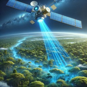
Satellites and remote sensing play a crucial role in forest management and conservation. They offer detailed and
Satellites and remote sensing play a crucial role in forest management and conservation. They offer detailed and
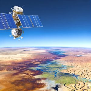
Remote sensing technology provides invaluable data for assessing and managing drought-impacted regions. Satellites capture comprehensive information on
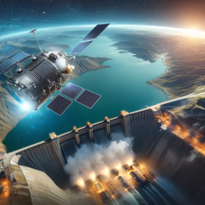
Satellite technology is instrumental in the effective management of water resources. It allows for accurate mapping of
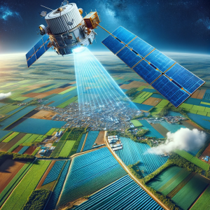
In agriculture, remote sensing and satellites are pivotal for enhancing productivity and sustainability. They enable precise monitoring