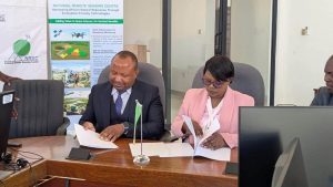
NRSC and Zambia University College of Technology Sign Strategic Partnership Agreement
The National Remote Sensing Centre (NRSC) and the Zambia University College of Technology (ZUCT) have formally signed a Memorandum of

The National Remote Sensing Centre (NRSC) and the Zambia University College of Technology (ZUCT) have formally signed a Memorandum of
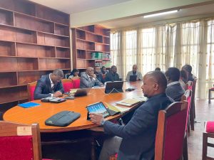
Lusaka, 22 July 2026 – The National Remote Sensing Centre (NRSC), together with its strategic partner, Solafune Inc. of Japan,
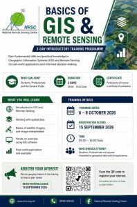
The National Remote Sensing Centre (NRSC) has announced the launch of its 3-Day Basics of GIS and Remote Sensing Training
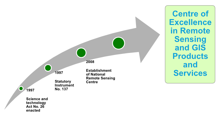
The National Remote Sensing Centre (NRSC) was established through the issuance of Statutory Instrument No. 137 of 1999 of the Science and Technology Act (No. 26 of 1997). The idea of setting up the NRSC was mooted at an international conference hosted by the then Ministry of Science, Technology and Vocational Training (MSTVT) in 1997.
To promote and conduct remote sensing activities for industrial advancement in Zambia.
To be a Centre of Excellence in remote sensing and GIS products and services.
To provide timely remote sensing data and other geo-information products and services to contribute to decision making at local, national and regional level.
NRSC is Zambia’s leading institution in geospatial technologies, specializing in remote sensing, GIS, surveying, environmental monitoring, and disaster management.
We offer satellite image processing, GIS mapping, land surveying, environmental monitoring, disaster risk assessment, and urban planning solutions.
Satellite imagery requests can be made through our data portal or by contacting our office directly for customized datasets.
We utilize imagery from optical (e.g., Sentinel-2, Landsat-8), radar (e.g., Sentinel-1), and hyperspectral satellites for various applications.
Yes, we offer professional GIS and remote sensing training for individuals and organizations interested in spatial data analysis.
Yes, we actively collaborate with government agencies, research institutions, and private companies on geospatial projects.
Researchers can apply for data access through our research partnership program, subject to approval and data-sharing agreements.
Internship and job openings are posted on our website and social media platforms. Interested applicants should regularly check for updates and apply through the official recruitment portal (click here)