Agriculture and Food Security
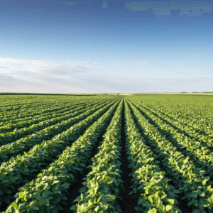
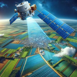
NRSC applies earth observation technologies to contribute to enhancing sustainable agricultural practices across Zambia. Through the use of satellite imagery
NRSC applies earth observation technologies to contribute to enhancing sustainable agricultural practices across Zambia. Through the use of satellite imagery
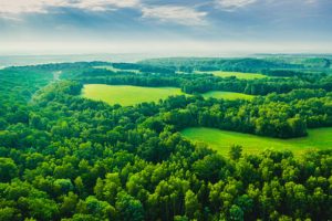
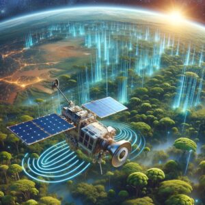
NRSC applies geospatial and satellite monitoring to support the sustainable management of forests and natural resources in Zambia.Through continuous observation
NRSC uses satellite imagery and geospatial analysis to support disaster preparedness, response, and recovery in Zambia.By monitoring weather patterns, land
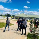
Empowering Institutions Through Geospatial Skills NRSC provides hands-on training programs in GIS and Remote Sensing, aimed at strengthening national capacity
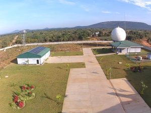
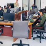
Empowering Zambia’s Entry into the Space Era The Ground Receiving Station (GRS) was established to meet the growing demand for
Mapping Change for Sustainable Land Management The National Remote Sensing Centre (NRSC) delivers comprehensive land cover classification and analysis using

Promoting Sustainable Resource Use and Environmental Protection The National Remote Sensing Centre (NRSC) plays a key role in monitoring and
Harnessing Geospatial Data for a Healthier Nation The National Remote Sensing Centre (NRSC) applies geospatial analysis to strengthen public health