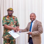
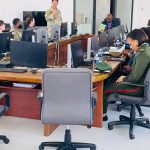
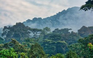
NRSC applies geospatial and satellite monitoring to support the sustainable management of forests and natural resources in Zambia.
Through continuous observation of land cover and vegetation dynamics, NRSC provides critical data for decision-making on conservation, restoration, and resource utilization.
Our Services
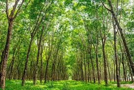
- Forest Cover Monitoring
Using satellite imagery to track forest cover changes, deforestation trends, and regeneration patterns across the country. - Land Use and Land Cover Mapping
Producing detailed maps that show how land is being used, helping planners and policymakers manage Zambia’s natural resources effectively. - Ecosystem and Biodiversity Assessment
Supporting conservation efforts by identifying key habitats and monitoring ecosystem health through spatial and temporal analysis.